I'm writing this post from the Atlanta airport, where I am waiting for my connecting flight home from Costa Rica. I had a great week participating in OTREC - it was so great that I delayed my departure for a day so that I had a chance to go on a second research flight - this time, on the NCAR/NSF G-V, on Thursday August 22, 2019.
 |
| Me outside the plane in my stylish high visibility safety vest. |
The G-V was pretty different than the NOAA P-3 I had flown on
earlier this week (
see my previous blog post about that flight)! It flew more than twice as high
(41,000-45,000 ft. vs. 10,000-20,000 ft), was a smoother ride (though a smaller
plane), and was much more luxurious. I particularly liked the seats that
swiveled, so you could get a bird’s eye view out of the expansive windows, or
could turn around to face a workstation where you could monitor the latest data from the flight.
 |
| The swivel chairs! Great for observing clouds through the window. |
After about an hour delay due to fog at the airport, we took off and flew the “B1” pattern, in which we flew back and forth in a box near the Colombia coast and then back and forth in a box in the Caribbean near the Panama and Costa Rica coasts. The first part of our flight, in the Colombian box, the
skies were very clear, with just some scattered shallow cumulus. The radar
returns looked like static – there were no clouds to see! But this meant that
we had a great view of ships, the Andes Mountains in Colombia, and the Panama
Canal.
 |
| Mostly clear skies. Near the center of the image is a ship (you can see its wake in the water). |
 |
| The Colombian coastline, and the Andes Mountain Range in the distance. |
 |
| The Panama Canal |
But then as we crossed over to the Caribbean, convection
picked up. A deep convective system had formed, with cloud tops just about at
our flight level. As we maneuvered around the convection and continued on our
flight pattern, we ended up flying past that same convective system three
times, allowing us to view it from three different angles. Viewing it from the
side was almost like getting an inside look at the structure of the convective
system.
 |
| Our first pass, to the east of the convective system, with near textbook structure. |
 |
| Radar returns as we flew over the edge of the anvil cloud - the pinks indicate cloud particles! |
 |
| Our second pass, from the north of the convective system. Notice how there are multiple thunderstorms embedded within the system. |
 |
| Photo of our flight path (red dot in the upper right shows our current location) with infrared satellite imagery in the background. The bright right blob in the top right of the image (the smaller of the two) is the convective system we flew past three times. |
 |
| Headed towards our third pass by the convective system, this time to its south and west. |
On our last pass, we had a perfect view of the “overshooting
tops”.
Most of the cloudy air stops
rising when it is no longer more buoyant than the surrounding atmosphere, which
for deep convection occurs when the rising air runs into the more stable air in
the tropical tropopause layer. The cloudy air then diverges
outward, forming a spreading anvil cloud. But
some of the rising air has enough momentum to bubble up a bit further; these
are known as “overshooting tops” and are the bubbles of cloud above the
otherwise flat top of the cloud.
 |
| About to enter the cloud shield. We were flying just at the level of the cloud tops. Notice the extra bit of cloud bubbling up above the otherwise flat anvil cloud top. |
 |
| Overshooting convection. |
All in all, it was a great flight and a great end to my time
with OTREC in Costa Rica!
 |
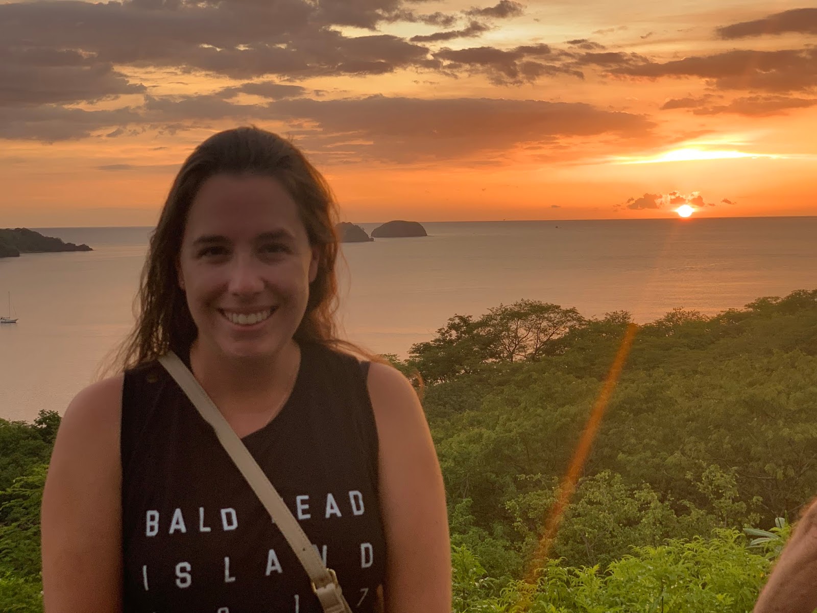
| A gorgeous sunset to end my time with OTREC. |


No comments:
Post a Comment